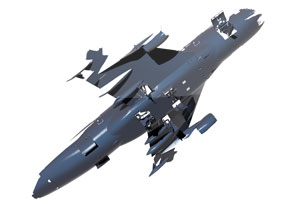
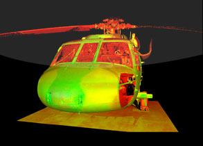
Ultra Short Range 3D Scanner Surphaser® Model 75HSX
Ideal for high-precision scanning at short distances, Surphaser 75 gives users the ability to quickly collect high-accuracy, high-resolution data starting as close as 25cm (<1ft).
Photo courtesy of MD3D UK
Learn More
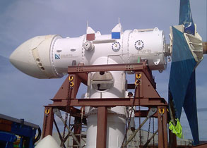
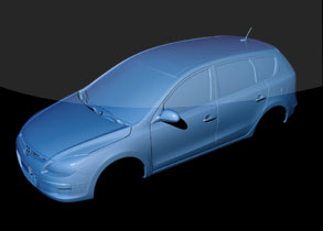
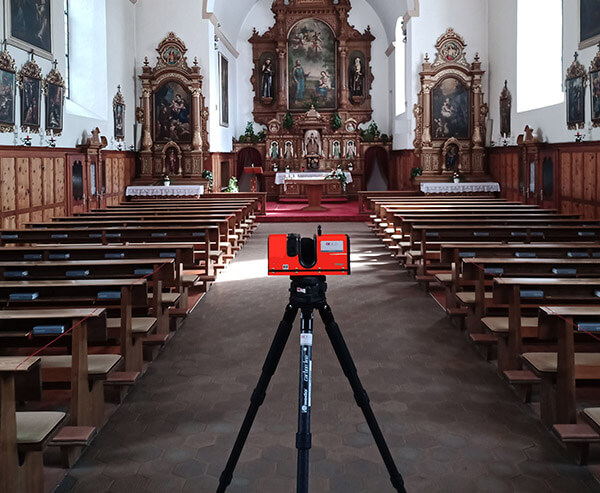
3D Scanner Surphaser® 100HSX
Sub-millimeter accuracy scanners with a scan rate of up to 1 million points per second and a scan range between 1m and 50m.
Photo courtesy of Mimic Studios
Learn More
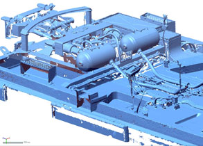
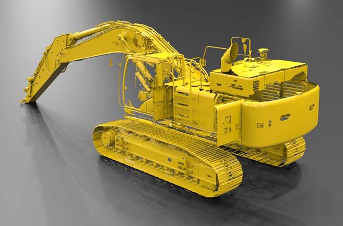
3D Scanner Surphaser® 410HSX
Submillimeter range noise on distances up to 100 m, scanning speed up to 832,000 points per second, easy portability, known Surphaser accuracy and reliability.
Photo courtesy of GEOS3D, Austria
Learn More
High scanning speed combined with high accuracy and scan data quality
3D scanning technology for ranges from 0.25 m up to 110 m
Ultra-low noise – sub-millimeter accuracy for all models
Light and portable – fits in optional carry-on case approved for cabin luggage for most domestic airlines
Robust, dust- and splash-resistant design allows Surphaser to operate in industrial and outdoor environments
Automatic target extraction and target-based scan registration
Export of clean and accurate datasets into many 3rd party point cloud processing applications (Polyworks, RealWorks Survey, Leica Cyclone, Geomagic, etc.)
Built-in scan controller (can be removed by request) and battery allow operation without a laptop and main power
Optional camera system with 60-megapixel equivalent color image for models 100HSX, standard integrated camera for all other models
1 All noise and uncertainty figures are for 1 sigma level
2 Range noise — local (short term) range variation, Lambertian surface
3 Evaluated with contrast target best fit at data rate of 208,000/832,000 points
per sec respectively
4HQ, HS and HP are software selectable options based on the same
hardware model 100HSX IR (HQ and HS only), models 80HSX,
400HSX and 410HSX (HQ, HS and HP).
System Parameters may be changed without notice; parameters are rated independently
")